
Underground surveys play a key role in managing subsurface infrastructure, but traditionally, these surveys have been time-consuming and reliant on manual data entry. With semi-automated mapping software, such as that used by Telesto, these processes are streamlined, allowing surveyors to capture and process data more efficiently. This shift towards automation is transforming the way underground assets are mapped, ensuring better accuracy and faster results. In this post, we look at how semi-automated mapping technology is improving underground survey efficiency and the key benefits it brings to the industry.
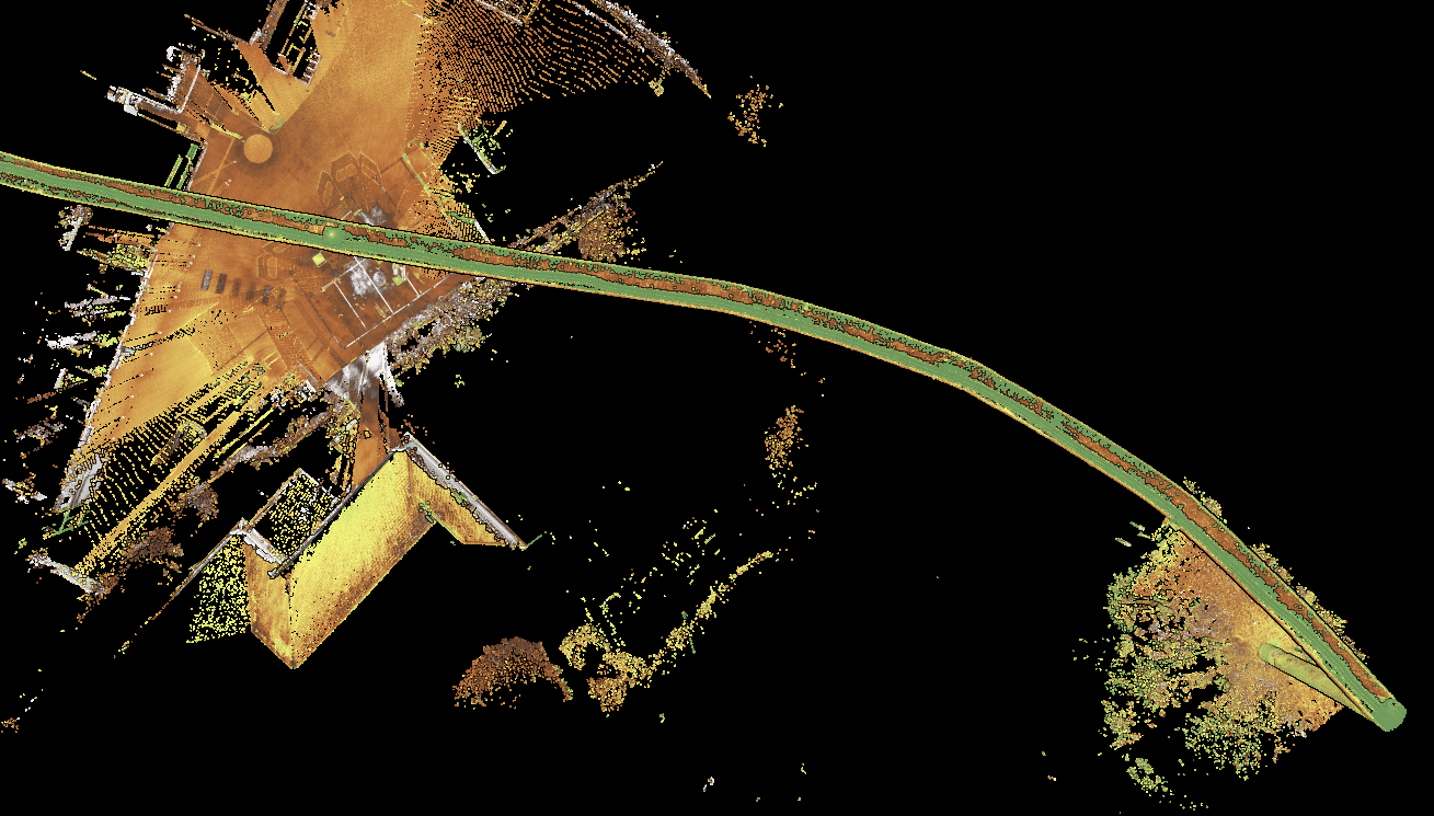
Challenges of Traditional Underground Mapping Workflows
Traditional underground utility mapping methods are reliant on manual data collection, often requiring surveyors to physically measure, record, and process vast amounts of data. This method is not only time-consuming but also prone to human error.
Delays and inaccuracies in data collection can result in costly mistakes for critical underground infrastructure, and the need for repeated fieldwork to verify results can further hinder progress. Ultimately traditional surveying methods can slow down project timelines and reduce the overall efficiency of underground surveys.
With the introduction of semi-automated mapping software, many of these issues have been addressed. Surveyors can now rely on technology that collects data more quickly, often more than 10 times faster, and in a significantly safer manner, leading to much lower costs.
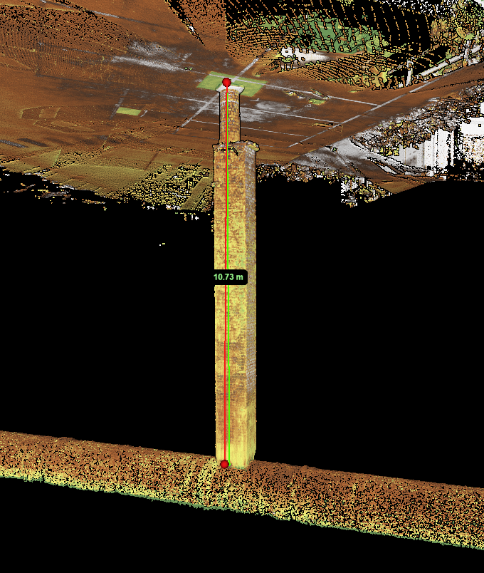
How Semi-Automated Mapping Software Improves Data Capture
Semi-automated mapping software transforms the data capture process by accelerating data collection. Unlike traditional methods, which rely heavily on human effort for measurement, data entry, and analysis, semi-automated solutions use advanced technology to handle many of these tasks automatically. This reduces the time spent on manual work and ensures more consistent results throughout the mapping process. Below, we share some of the ways that semi-automated software improves data capture in underground surveys:
Faster Data Collection and Processing
Semi-automated mapping software reduces the time required to collect and process data. By leveraging advanced sensors, cameras, and GPS / GNSS systems (where available), the software can quickly capture and process underground data, eliminating the need for constant human intervention. This acceleration streamlines workflows, enabling surveyors to meet tight deadlines and complete projects more efficiently.
Reduced Human Error
Automating much of the data entry and processing with semi-automated systems helps eliminate many of the mistakes commonly associated with traditional manual mapping methods. By reducing the likelihood of errors, these systems ensure more accurate and reliable results, ultimately reducing the need for expensive rework and ensuring data quality.
Consistent and Reliable Results
With semi-automated underground utility mapping software, results are far more consistent compared to traditional methods. Manual mapping often leads to variations in data quality, depending on the surveyor’s experience and the potential for human error. Semi-automated software ensures that every survey is performed with precision, delivering high-quality, reliable results every time.
Semi-automated software, such as Telesto, is transforming the mapping process by significantly improving speed and reliability. By automating key elements of data collection and analysis, it streamlines underground surveys, making them faster, more consistent, and less prone to error. As a result, semi-automated mapping tools are becoming an increasingly valuable asset across the industry.
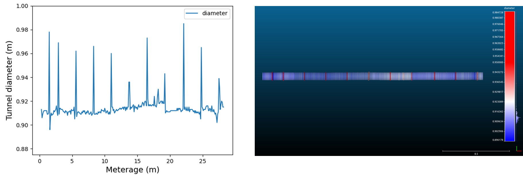
Telesto: Semi-Automated Mapping Software for Greater Efficiency
Headlight AI offers Telesto, which uses award-winning semi-automated mapping software designed to safely map, digitise, and assess the condition of critical underground infrastructure, such as tunnels, sewers, and culverts. Telesto goes beyond traditional mapping methods by using cutting-edge technology to accurately locate and assess underground linear assets, elevating the standards of underground utility mapping to new levels of efficiency.
This flagship product automates key tasks in the mapping process, enabling faster, more accurate data collection and ultimately improving the overall workflow for surveyors. The software is tailored to provide smarter, safer mapping solutions, reducing risks for workers and significantly enhancing productivity.
Unlike traditional, time-consuming methods, Telesto enables data capture in hours rather than days, cutting down on delays and reducing the manual effort involved in underground mapping. This results in quicker, more reliable results that help keep projects on track and within budget.

How Telesto Improves Efficiency in Underground Mapping
Instant Data Capture
With Telesto, surveyors can instantly capture underground data without the need for manual entry or validation. This significantly reduces the time spent waiting for data to be processed, enabling teams to move forward quickly. Immediate insights into the accuracy of data allow for faster decision-making, ultimately accelerating the entire mapping process and improving overall project efficiency.
Reduced Manual Labour and Delays
Telesto automates key stages of data collection and processing, greatly reducing the reliance on manual labour. Surveyors can continue working without unnecessary delays, as there is no need to pause for data entry or analysis. With fewer hold-ups, surveyors can focus on other aspects of the project, resulting in a more efficient workflow and quicker completion of the underground mapping process.
Faster, More Reliable Project Completion
By automating data collection and processing, Telesto also allows survey teams to complete underground mapping projects more quickly. With less time spent on manual tasks, projects can be finished faster without compromising the quality of the data. This increased speed not only improves productivity but also helps meet tight deadlines, making Telesto an invaluable tool for time-sensitive infrastructure projects.
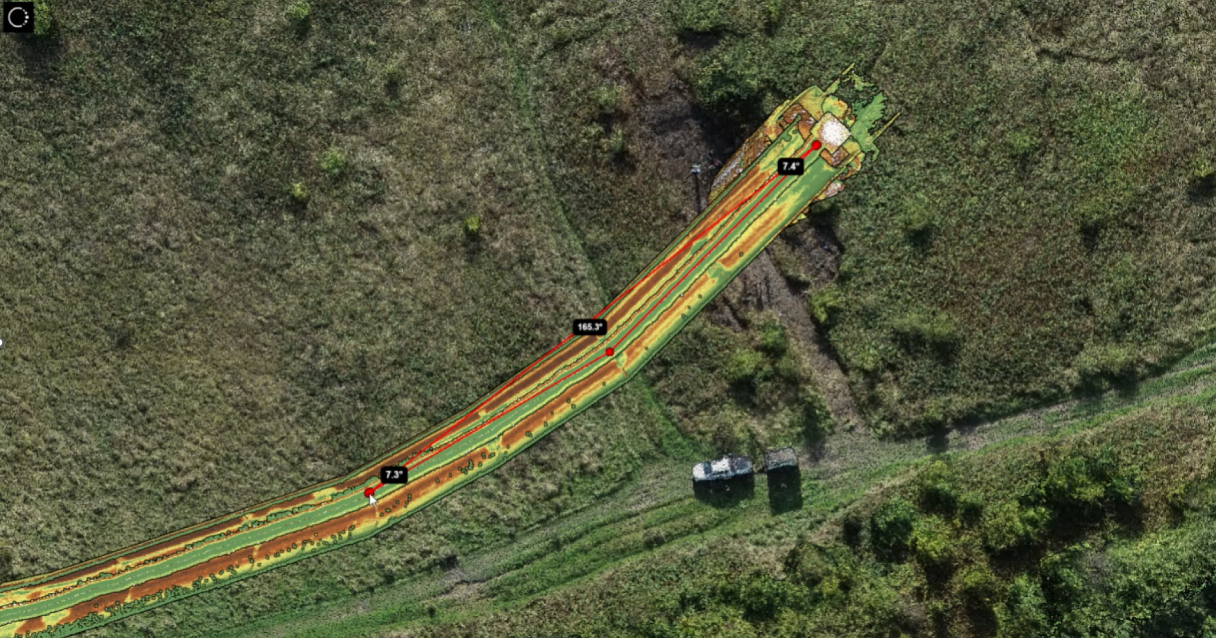
Hire or Pre-Order Telesto Today
To improve underground survey efficiency, implement Headlight AI’s Telesto software into your operations. With Telesto, you can streamline underground utility mapping and complete surveys faster, reducing manual effort and human error. We offer Telesto both for hire and pre-order. Contact us today through our contact form, by calling 01273 121 325 or emailing [email protected]. Experience more efficient, accurate, and safer mapping with Telesto at Headlight AI.