
We produce integrated multi-sensor solutions for enhanced data collection and processing in extreme environments. Our deep technological expertise, from robotics and AI, through to photophysics and materials, means developing novel technologies is at the core of what we do. We continue to push what is possible by enhancing sensor performance using (patent-pending) AI software for enhanced perception, efficient data processing, and ultimately solutions that solve major challenges for robotics in extreme environments.

Our patent pending AI software, SPADAR™, allows sensors to adapt in real-time to their environment, enabling them to work in conditions where they usually fail.
Our patent pending AI software, See Less. Infer More. (SLIM)™ accelerates AI training and reduces memory footprint for Edge devices.
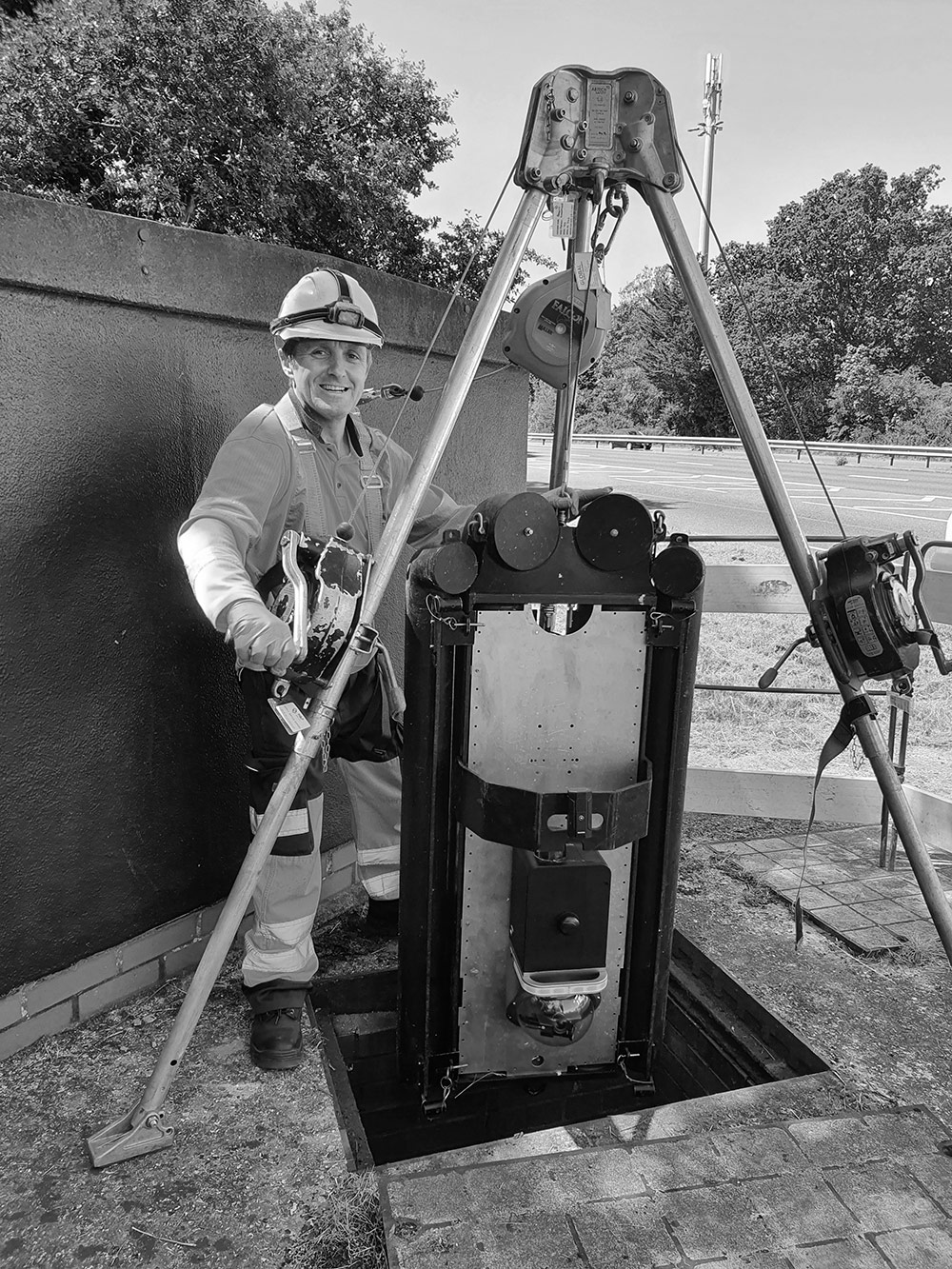
We have developed proprietary software that uses data from a range of light based and inertial sensors, enhancing data acquisition in low light and underground locations. These systems can enhance visibility and situational awareness in such environments and can be used for improved simultaneous localisation and mapping (SLAM).
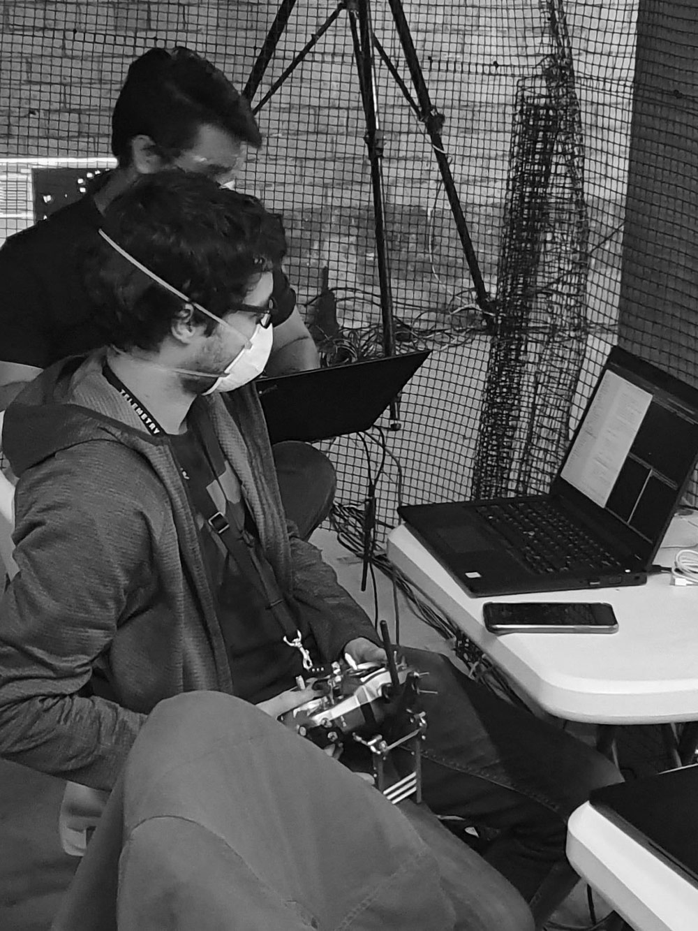
We have developed energy efficient processing software for edge solutions (e.g., light weight robots or drones) and are integrating new deep learning algorithms that run on low power devices. This extends the operational time of robots (with limited battery life) in the field and allows them to make intelligent decisions in real-time without connectivity to the cloud. We also use post-processing algorithms and Kx technology in the cloud for fast querying and further
insights.
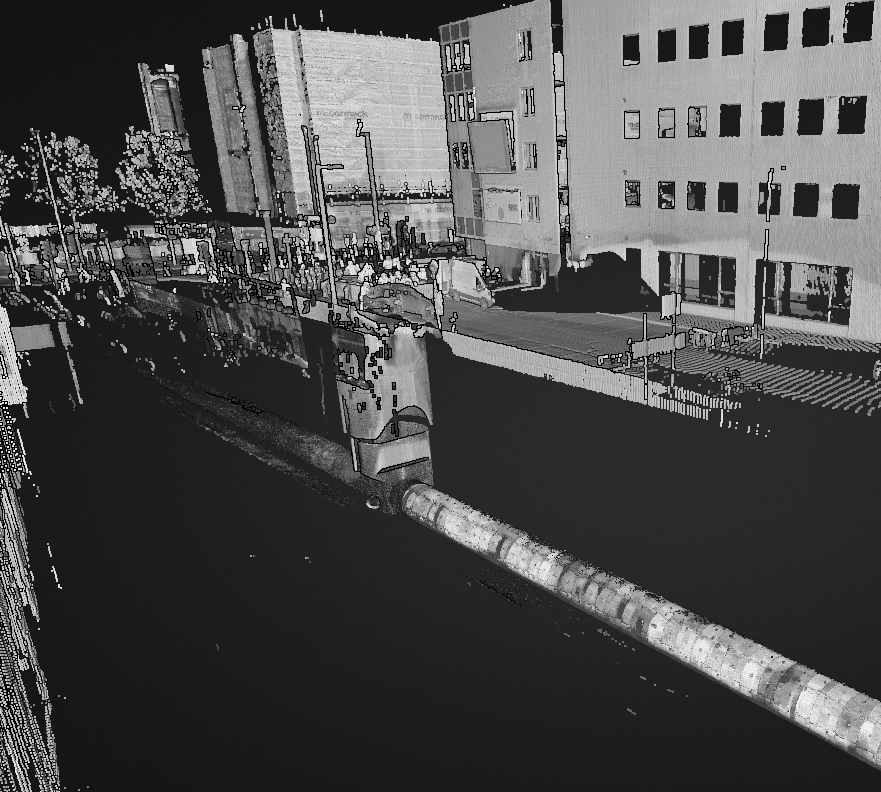
All the processed data and surveying information is securely stored and presented to users on our platform via their unique dashboard. Automated condition assessment reports are generated with the types and locations of defects, in addition to geolocation data for the surveyed asset. A range of deliverables, such as videos and 3D point cloud files are also made available to users. All of this can be used to create digital twins of assets and to monitor safety critical systems, so the right people can get to the right place at the right time.