Telesto v3.0
Safe and cost-effective tunnel and sewer surveying
Our award-winning, flagship product, used for accurately locating and assessing underground linear infrastructure.







Improved health and safety
Telesto minimises person entry into confined spaces underground enhancing process safety.

Advanced analysis & AI
Telesto data can help users with mapping and condition assessment of assets and can provide accurate diameter and deformation measurements.

User friendly operation
Telesto is an easy-to-use device with Wi-Fi and an in-built app for reviewing survey data onsite, and downloading for further processing.
Telesto Hardware
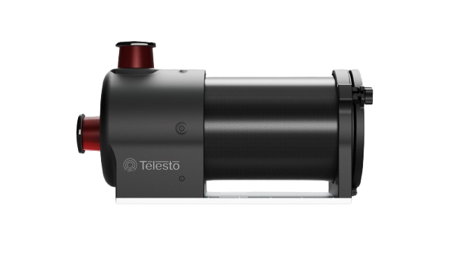
A LiDAR & Imaging Solution for Underground Inspection & Mapping
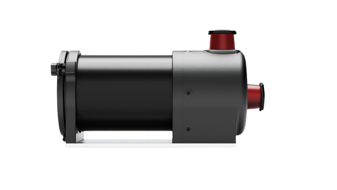
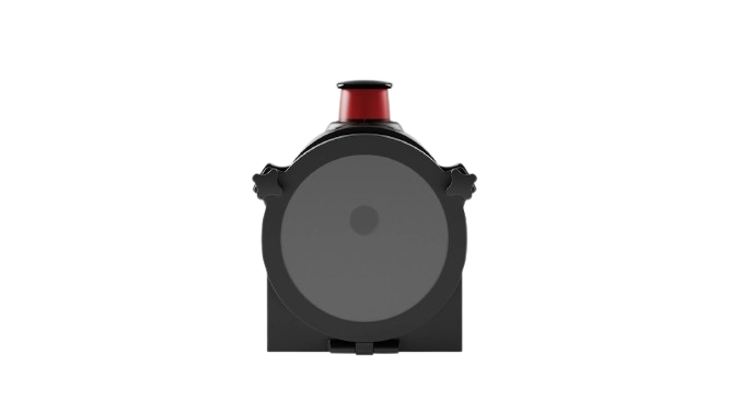
Low light wide-angle camera
185° field of view camera for condition assessment videos.
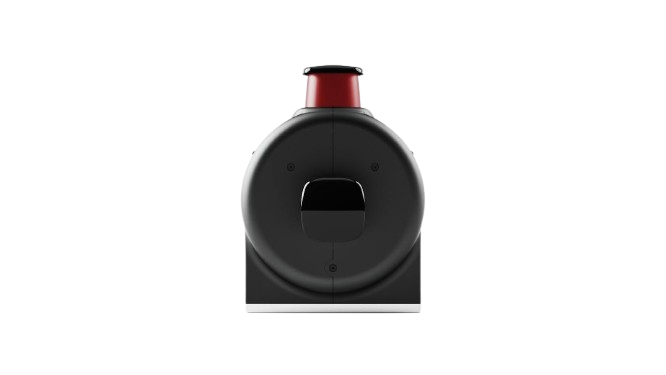
Dual LiDAR system
360° Light Detection and Ranging (LiDAR) scanners capture 3D data points at 30Hz.
Waterproof enclosure
A sealed system for use in wet and harsh environments.
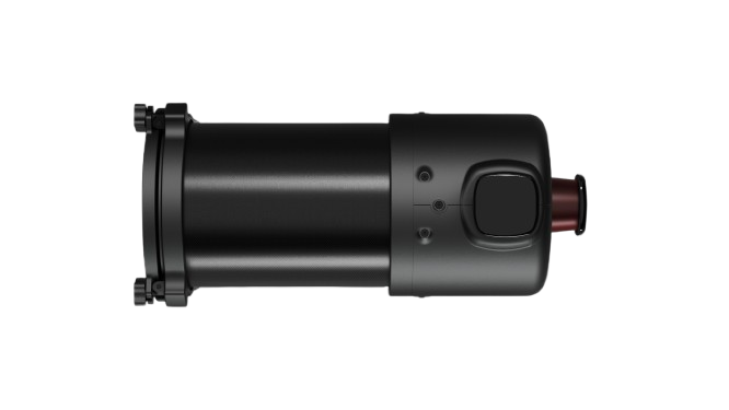
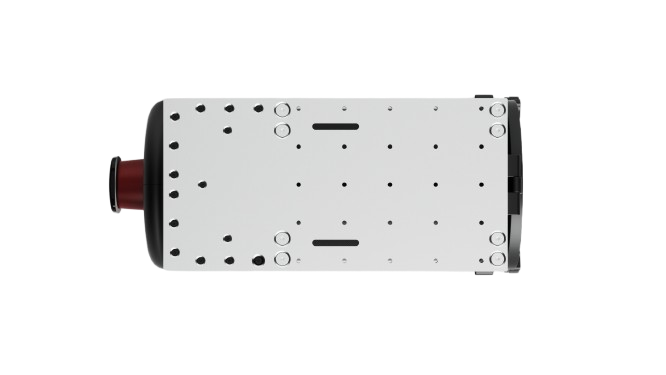
Retro-fit to your deployment vehicle
Plate with multiple attachment points to retrofit to your floating platform or crawler.
Telesto Software
Combining sensor data to produce 3D point clouds, maps, videos, and analytics.
Obtain High Density 3D Point Clouds and Maps
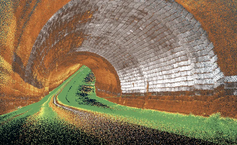
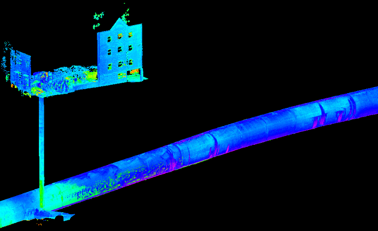
Easily access and view your 3D point cloud files (e.g. las, e57), maps (e.g. dwg), images, and videos from Telesto via an online platform and 3D point cloud viewer (SeeBeyond).


Obtain High Density 3D Point Clouds and Maps
Easily access and view your 3D point cloud files (e.g. las, e57), maps (e.g. dwg), images, and videos from Telesto via an online platform and 3D point cloud viewer (SeeBeyond).
Quantitative Asset Analysis and 4D Modelling
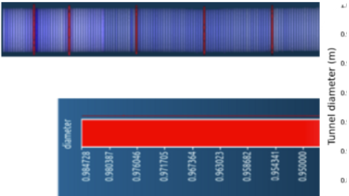
Automatically determine diameter and deformation measurements (to millimeter resolution) across the entire length of your asset, and track defects and corrosion levels over time with repeat surveys. This enhances predictive maintenance and lowers the cost of rehabilitation with more targeted intervention.
Leverage AI to Detect Defects and Surfaces
We develop Machine Learning (ML) models to help identify different defects, surface types, and anomalies from video and LiDAR data. E.g. calcification or exposed aggregate. Obtain greater insight into the condition of your assets with deeper analysis.
Leverage AI to Detect Defects and Surfaces
We develop Machine Learning (ML) models to help identify different defects, surface types, and anomalies from video and LiDAR data. E.g. calcification or exposed aggregate. Obtain greater insight into the condition of your assets with deeper analysis.
In development
Valuable solutions we are developing with partners to inspect and maintain critical infrastructure
Pipeon robot
Autonomous inspection and repair robot for small pipes and sewers
Pipeon is a 4-year European Commission-funded Horizon project that is seeking to develop autonomous robotic and AI-based technologies for mapping, monitoring, and maintaining sewers. Headlight is helping to develop novel sensor solutions for these robots, in addition to sensor fusion and SLAM algorithms, and new AI models to help detect defects and guide repairs.
Prometheus drone
Autonomous drone for exploring confined unknown environments
The Prometheus drone is an autonomous reconfigurable drone for inspecting underground GPS-denied environments and confined spaces, which is designed to be deployed through 150mm boreholes to access old mine workings and voids. Headlight is developing the sensor system and SLAM algorithms for this specialist drone.
Customers, Users, and Partners